

Hiking trails · Mountain biking · Willamette National Forest
McKenzie River Trail
USFS Trail #3507
About 26 miles of singletrack from the lava fields above Clear Lake down to McKenzie Bridge, past two thundering waterfalls and the impossibly blue Tamolitch Blue Pool.
★Trail highlights, top to bottom
 mi 0Lava fieldsStart on a Mount Washington lava flow, crossing the newborn river.
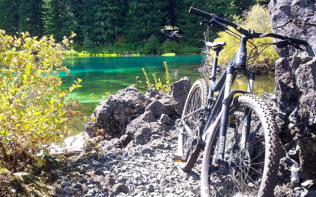
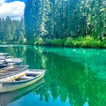
 mi 1.5Clear LakeSpring-fed, glass-clear and cold. Grab a bite at the resort.
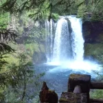
 ~mi 4Sahalie FallsThe river’s biggest, loudest plunge. Feel the mist.
 ~mi 5Koosah FallsSahalie’s twin, a short walk downstream.
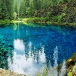
 ~mi 11Tamolitch Blue PoolThe river reappears from underground in an unreal shade of blue.
 ~mi 12Trail Bridge ReservoirA calm, reflective halfway point with a campground.
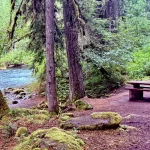
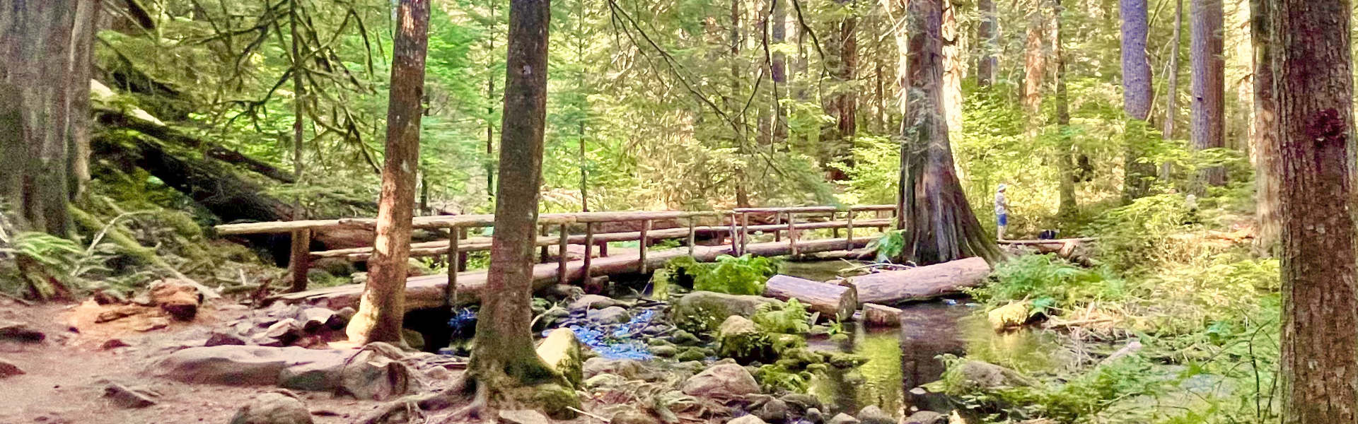 mi 12–26Old growth to the finishMiles of moss, cedar and footbridges down to McKenzie Bridge.
Swipe or scroll for more. Mileages are approximate from the upper trailhead.
Trail map and elevation
Route and elevation come from the McKenzieRiverTrail.com GPS track; mileage is approximate. Read the chart left to right, upper trailhead to lower.
● Attractions ● Campgrounds ● Food and lodging ■ Trailheads
Full interactive map, GPX download and shuttle info on McKenzieRiverTrail.com
Everything above is the quick answer. Scroll on for the details, the backstory and tips.
The trail, section by section
Most people ride or hike it downstream, upper trailhead to lower, which keeps the grade mostly in your favor. Miles below are approximate, measured from the upper trailhead.
- Upper trailhead to Clear Lake (0–1.5 mi). You start on an old lava flow from Mount Washington, cross a bridge over the newborn McKenzie, and wind through old-growth conifers to Clear Lake, where the Great Spring, a primary source of the river, bubbles up. Clear Lake has a resort with food and a day-use area.
- The waterfalls (about 4–5 mi). Cross Highway 126 and the trail drops past Sahalie Falls and Koosah Falls. Cyclists must walk bikes on the Waterfalls Trail section or use the McKenzie River Trail alternate.
- Carmen Reservoir to Tamolitch (about 5–11 mi). Around Carmen Reservoir the river goes underground for most of the year, so the trail follows a dry creekbed with several bridges and some rough lava rock, then reaches the overlook above Tamolitch Blue Pool, where the river reappears.
- Trail Bridge to Paradise (about 12–23 mi). Past Trail Bridge Reservoir the trail rolls through old-growth forest, briefly joins Forest Road 610, and passes Olallie and Paradise campgrounds. The terrain is undulating, with a few short climbs.
- Paradise to the lower trailhead (about 23–26 mi). The last stretch passes near Belknap Hot Springs and the McKenzie River Ranger Station and finishes at the lower trailhead, about 1.5 miles east of McKenzie Bridge.
Trailheads, parking and shuttles
The Forest Service lists ten access points, so you can do the whole thing or just a slice: upper trailhead (Forest Road 777, off Highway 126 just north of Clear Lake Resort), Clear Lake Resort, Clear Lake Day Use Area, Sahalie and Koosah Falls, the Tamolitch trailhead, Forest Roads 2654 and 2650, Paradise Campground, the ranger station, and the lower trailhead.
Doing it one-way
Because the trail is point-to-point, you'll need two cars or a shuttle. McKenzieRiverTrail.com runs shuttles to the upper trailhead.
Short-on-time favorites
The Waterfalls Loop (Sahalie and Koosah) and the out-and-back to Tamolitch Blue Pool from the Tamolitch trailhead are the most popular short versions. Expect heavy congestion near Paradise Campground and on the Clear Lake and Waterfalls loops in summer.
Water, camping and facilities
Potable water is available in the campgrounds along the way; treat any other water. Camping is limited to developed campgrounds for a section of the lower trail, so plan your stops around the campgrounds below. The Paradise trailhead has no restrooms or drinking water.
Why it's worth it
If you've ever wanted to ride your bike through an enchanted forest, chase waterfalls, and high-five a moss-covered tree, this is your trail. It winds like a spaghetti noodle through old-growth forest, lava fields and crystal-clear pools, technical enough to keep mountain bikers grinning and well-marked enough for everyone on foot. Moss so green it looks fake, water so blue you'll doubt your eyes, and lava rock reminding you Oregon has a fiery past. Go read it with your feet.
Ways to enjoy it
Motorized vehicles and stock are prohibited on the whole trail. Drinkable water is only in the campgrounds along the way; treat anything else.
Day hiking on McKenzie River Trail: Allowed
Nobody hikes all 26 miles in a day; they pick a slice. Three favorites: the lava-and-old-growth stretch around Clear Lake, the Waterfalls Loop past Sahalie and Koosah Falls, and the out-and-back to Tamolitch Blue Pool.
The Forest Service warns of heavy congestion near Paradise Campground, Clear Lake and the waterfalls, so start early on summer weekends.
Source: USFS: McKenzie River Trail #3507
Backpacking on McKenzie River Trail: Allowed, with camping limits
Hiking the whole trail over two or three days is a classic. Plan your nights around the campgrounds: along part of the lower trail, camping is restricted to developed campgrounds. Paradise and Trail Bridge are handy stops.
Campground water is drinkable; treat everything else.
Source: USFS: McKenzie River Trail #3507
Mountain biking on McKenzie River Trail: Allowed (walk one short stretch)
This is the ride people put on their bucket lists: top-to-bottom singletrack with a long net descent. The lava sections in the upper miles are rocky and technical, so most riders shuttle to the top.
One rule to know: on the Waterfalls Loop, bikes must be walked along the east bank between the falls viewpoints. Stay on the MRT on the west side and you can keep pedaling.
Source: USFS: McKenzie River Trail #3507
Trail running on McKenzie River Trail: Allowed
Long, runnable and mostly downhill if you go north to south. It has hosted the McKenzie River 50K trail race. Expect slower going on the lava above Tamolitch, and hikers around the falls and the Blue Pool.
Source: USFS: McKenzie River Trail #3507
Horseback riding on McKenzie River Trail: Not allowed
Stock is prohibited on the McKenzie River Trail.
Want to ride? Box Canyon Horse Camp on the Aufderheide is a free, primitive stock camp with corrals and hitching posts, built for horse trips.
Source: USFS: McKenzie River Trail #3507
Motorcycle / ATV on McKenzie River Trail: Not allowed
Motorized vehicles are prohibited on the trail.
Motorized riders: stick to the roads and routes shown as open on the Willamette National Forest Motor Vehicle Use Map (free at the ranger station).
Source: USFS: McKenzie River Trail #3507
Allowed Allowed with limits Not allowed Not a good fit
▶See it in motion
Video by Wanderlust Max. Loads from YouTube when you press play.
Moss so green it looks fake. Water so blue you’ll doubt your eyes.
⌂What’s nearby
Distances are straight-line miles from the closest point on the trail. See them all on the Explore map.
Nearby lodging
Nearby food and drink
Nearby attractions

Nearby campgrounds
Nearby gas

Frequently asked questions
How long is the McKenzie River Trail? About 26 miles one-way, from the upper trailhead near Clear Lake to the lower trailhead near McKenzie Bridge. Most people do it downstream so it's mostly downhill.
Can I mountain bike the McKenzie River Trail? Yes. It's one of Oregon's best-known mountain bike rides. Walk your bike on the Waterfalls Trail section near Sahalie and Koosah falls. Horses and motorized vehicles aren't allowed.
Are dogs allowed? Yes — leashed dogs are welcome. Please bag and pack out solid waste.
Is there a shuttle for the one-way trip? Yes. McKenzieRiverTrail.com runs a shuttle to the upper trailhead, so you can park at the bottom and ride or hike down.
Where can I eat or stay near the McKenzie River Trail? Clear Lake Resort sits right on the trail near the top. Near the lower end, McKenzie Station Pub and Obsidian Grill are about a mile from the trail, and Loloma Lodge, Caddis Fly Resort and Horse Creek Lodge are within two miles.
When is the best time to go? May through October. Check current conditions before you go; snow can linger on the upper trail early in the season.
Sources: USFS: McKenzie River National Recreation Trail #3507 · Upper trailhead · Lower trailhead · McKenzieRiverTrail.com. Trail details accurate as of November 2026; check current conditions before you go.