Hiking trails · Three Sisters Wilderness · Highway 242 near McKenzie Bridge
Linton Lake Trail
USFS Trail #3519
An easy 3-mile round trip through old growth and lava flows to a quiet wilderness lake, perfect for families and first backpacking trips.
★Highlights and the Highway 242 byway
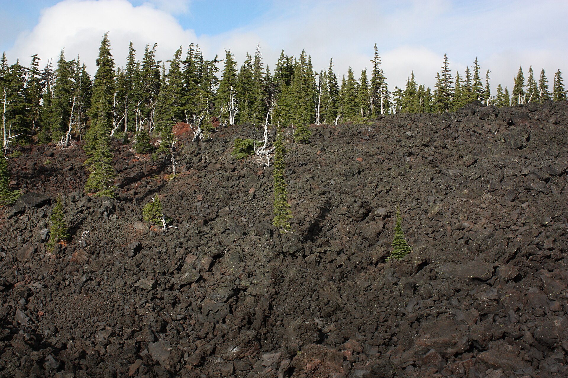 0–1.5 miLava and old growthThe trail threads old lava flows and big conifers.
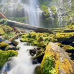
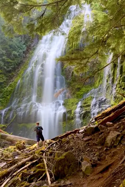 NearbyProxy FallsA short loop to one of Oregon’s most photographed waterfalls.
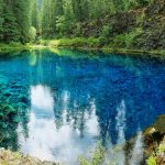
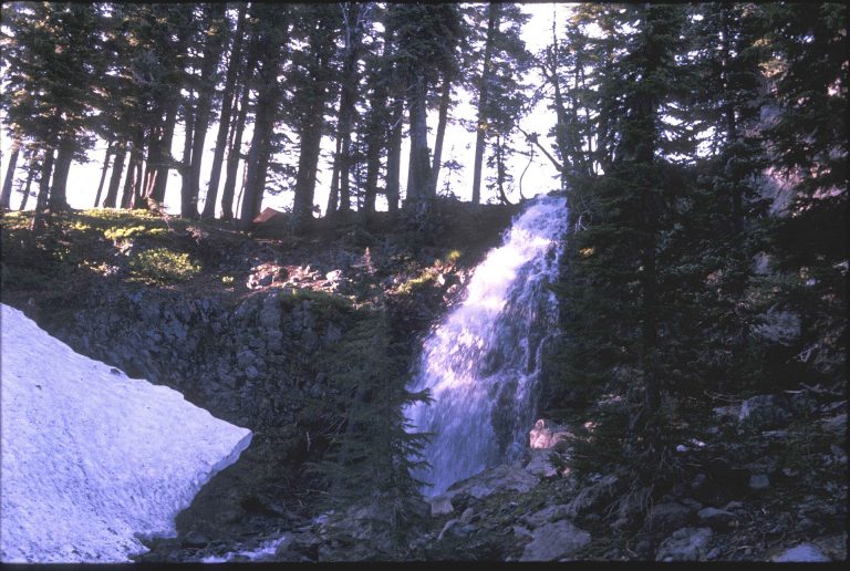 Up the roadObsidian TrailPermit-only hike to volcanic glass and Obsidian Falls.
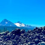
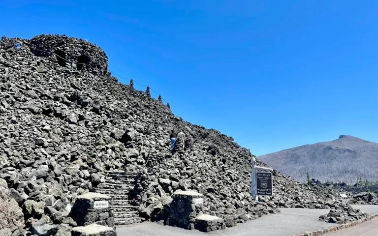 SummitDee Wright ObservatoryPeak views and a paved lava loop at McKenzie Pass.
Byway stops link to their own listings.
Trail map and elevation
Route from OpenStreetMap; elevations from the USGS 3D Elevation Program. OpenStreetMap measures about 1.8 miles to the end of the trail at the lake; guides round it to 1.5.
━ Linton Lake Trail #3519 ■ Trailhead ● Linton Lake
Directions to the Linton Lake Trailhead · Trail on OpenStreetMap
Everything above is the quick answer. Scroll on for the details, the backstory and tips.
The trail, start to finish
Trailhead to Linton Lake (0 to about 1.5 mi). Park at the Alder Springs Campground parking area, cross the road, climb a pair of wooden steps, and you're on the Linton Lake Trail. The path is well defined as it winds through old-growth forest and across old lava flows to the lakeshore at about 1.5 miles.
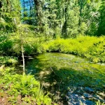
At the lake. Linton Lake has a few campsites 1.5 to 2 miles in, which makes it a great beginner backpacking trip. The lake has no visible outlet: like much of the McKenzie country, its water drains through porous lava and resurfaces in springs miles away.
Linton Falls (experienced hikers only). Beyond the lake, an unofficial route continues toward Linton Falls, roughly 5 miles round trip from the trailhead. It's rough, steep and possibly dangerous, with scrambling over rocks. Most visitors are happiest turning around at the lake.
Permits, passes and what to bring
Wilderness permit: required from June 15 to October 15. Recent guides say a Central Cascades Wilderness Permit is needed for both day and overnight visits here, while older guides describe a free self-issued day permit at the trailhead. Check Recreation.gov or call the ranger station for the current rule.
Parking: a Northwest Forest Pass or America the Beautiful pass is required.
Bring: water (the trailhead has a toilet but plan on no drinking water), sturdy shoes for the lava sections, and bug spray in early summer.
Getting there and season
From the Highway 126 junction near Belknap Hot Springs (about 5 miles east of McKenzie Bridge), drive about 10 miles up Highway 242 to Alder Springs Campground. Trailhead parking is next to the campground entrance; the trail starts across the road.
Season: Highway 242 closes to vehicles every winter. The 2026 closure began November 5, and the highway usually reopens in mid-June. In some springs ODOT opens the road as far as the snow gate near Alder Springs earlier, so this can be one of the first Highway 242 hikes of the year. Check TripCheck before you go.
Ways to enjoy it
Three Sisters Wilderness, off Highway 242, which closes in winter. Wilderness rules apply. Check current permit rules with the McKenzie River Ranger Station, (541) 822-3381 before you go.
Day hiking on Linton Lake Trail: Allowed
About 3 miles round trip, mostly level, across a lava flow and through forest to a quiet lake. It's a great family hike. Ambitious hikers can continue to Linton Falls, a harder 5 miles round trip.
Source: USFS: Linton Lake Trail #3519
Backpacking on Linton Lake Trail: Wilderness rules apply
There are campsites near the lake, so it's an easy first overnight. Follow wilderness rules, and confirm whether you need a permit for your dates.
Source: USFS: Linton Lake Trail #3519
Mountain biking on Linton Lake Trail: Not allowed
Bikes and all motorized travel are prohibited in designated wilderness under federal law.
Source: USFS: Linton Lake Trail #3519
Trail running on Linton Lake Trail: Allowed
A short, gentle out-and-back, good for a shakeout run on the way over the pass.
Source: USFS: Linton Lake Trail #3519
Horseback riding on Linton Lake Trail: Wilderness rules apply
Wilderness regulations apply and weed-free feed is required. The trailhead pullout is small, and the Forest Service says Highway 242 isn't suitable for trailers. Call the ranger station before hauling.
Want to ride? Box Canyon Horse Camp on the Aufderheide is a free, primitive stock camp with corrals and hitching posts, built for horse trips.
Source: USFS: Linton Lake Trail #3519
Motorcycle / ATV on Linton Lake Trail: Not allowed
Bikes and all motorized travel are prohibited in designated wilderness under federal law.
Motorized riders: stick to the roads and routes shown as open on the Willamette National Forest Motor Vehicle Use Map (free at the ranger station).
Source: USFS: Linton Lake Trail #3519
Allowed Allowed with limits Not allowed Not a good fit
⌂What’s nearby
Distances are straight-line miles from the closest point on the trail. See them all on the Explore map.
Nearby lodging

Nearby food and drink


Nearby attractions

Nearby campgrounds
Nearby gas

Frequently asked questions
How long is the Linton Lake hike?
Linton Lake Trail (Forest Service Trail #3519) is about 1.5 miles each way, about 3 miles round trip, with only modest elevation change.
Is it good for kids?
Yes. It's an easy-to-moderate hike and a popular first backpacking trip, with campsites at the lake 1.5 to 2 miles in.
Can I hike to Linton Falls?
Experienced hikers can continue beyond the lake toward Linton Falls, about 5 miles round trip. The route is difficult and possibly dangerous, so most visitors turn around at the lake.
Do I need a permit?
A wilderness permit is required from June 15 to October 15, plus a Northwest Forest Pass to park. Check Recreation.gov for the current rule at this trailhead.
When can I get there?
When Highway 242 is open, usually mid-June to early November. It closed for the 2026 season on November 5.
Sources: Oregon Hikers: Linton Lake Trailhead · Oregon Hikers: Linton Lake trail log · Statesman Journal: Linton Lake · ODOT McKenzie Highway. Checked November 2026.