Hiking trails · Three Sisters Wilderness · Highway 242 (McKenzie Pass)
Obsidian Trail
USFS Trail #3528
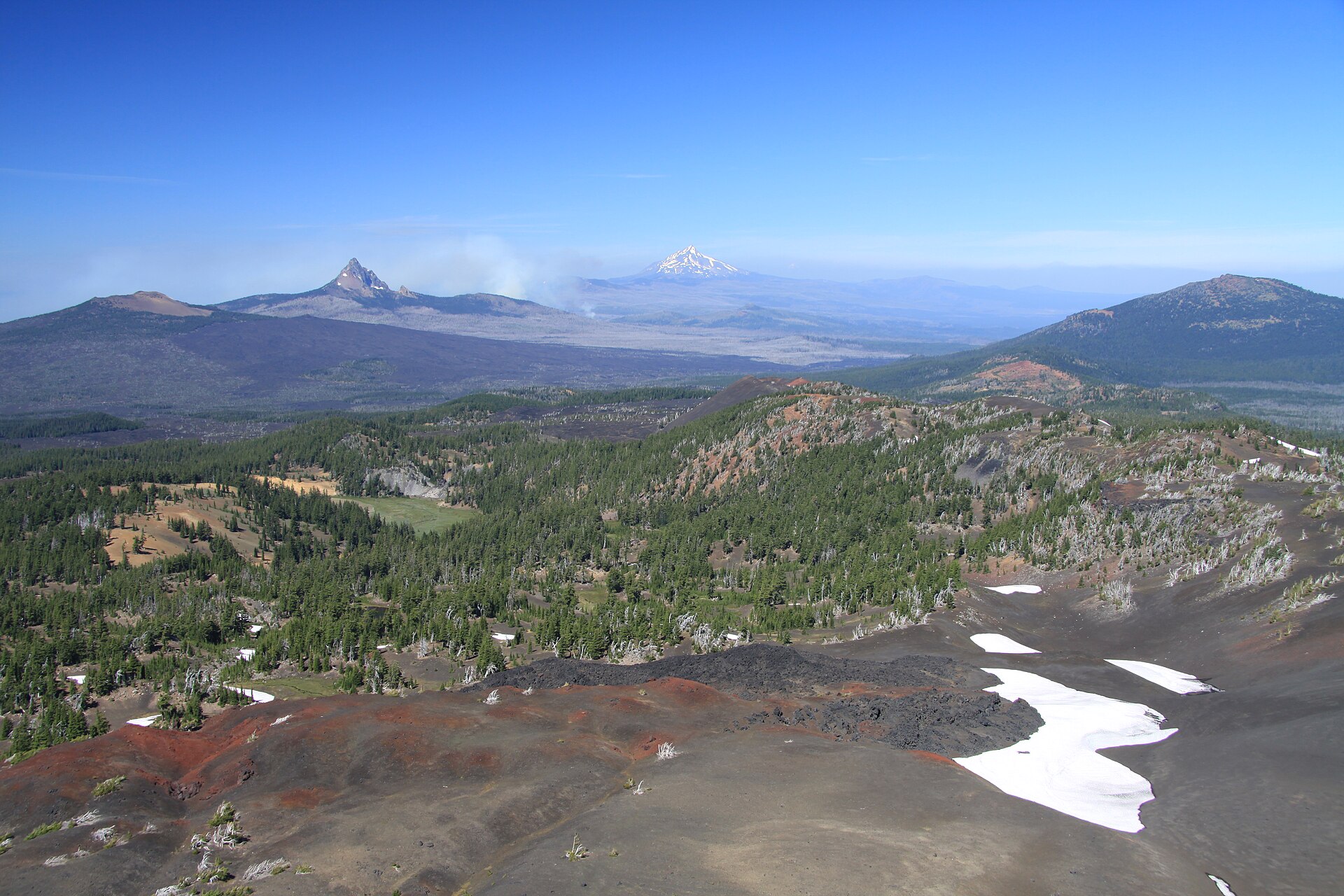
A permit-only loop past lava flows, glittering volcanic glass, Obsidian Falls and Sister Spring, right below the glaciers of the Sisters.
★Highlights along the loop
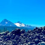
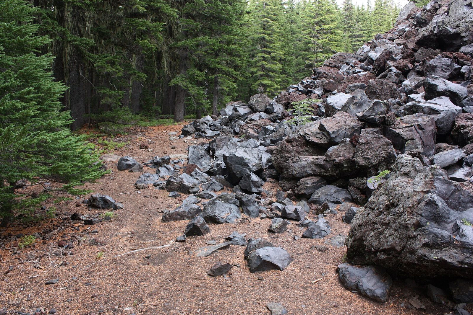 ~mi 3Lava fieldCross a river of red and black rock with the Sisters ahead.
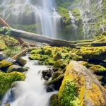
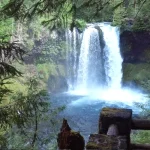
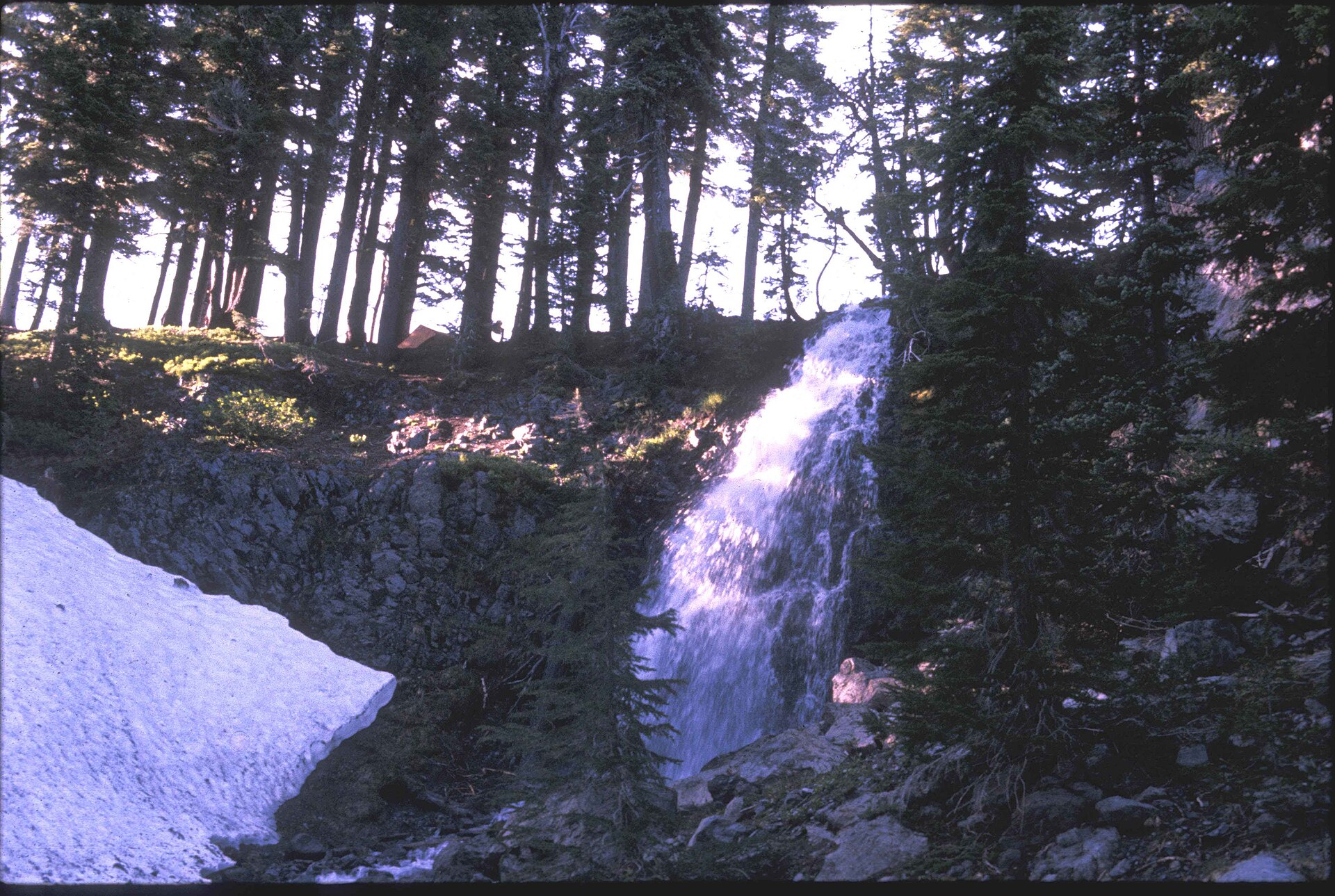 PCTObsidian FallsA 20-foot fall fringed with summer wildflowers.
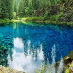
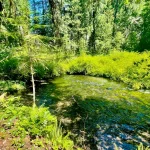
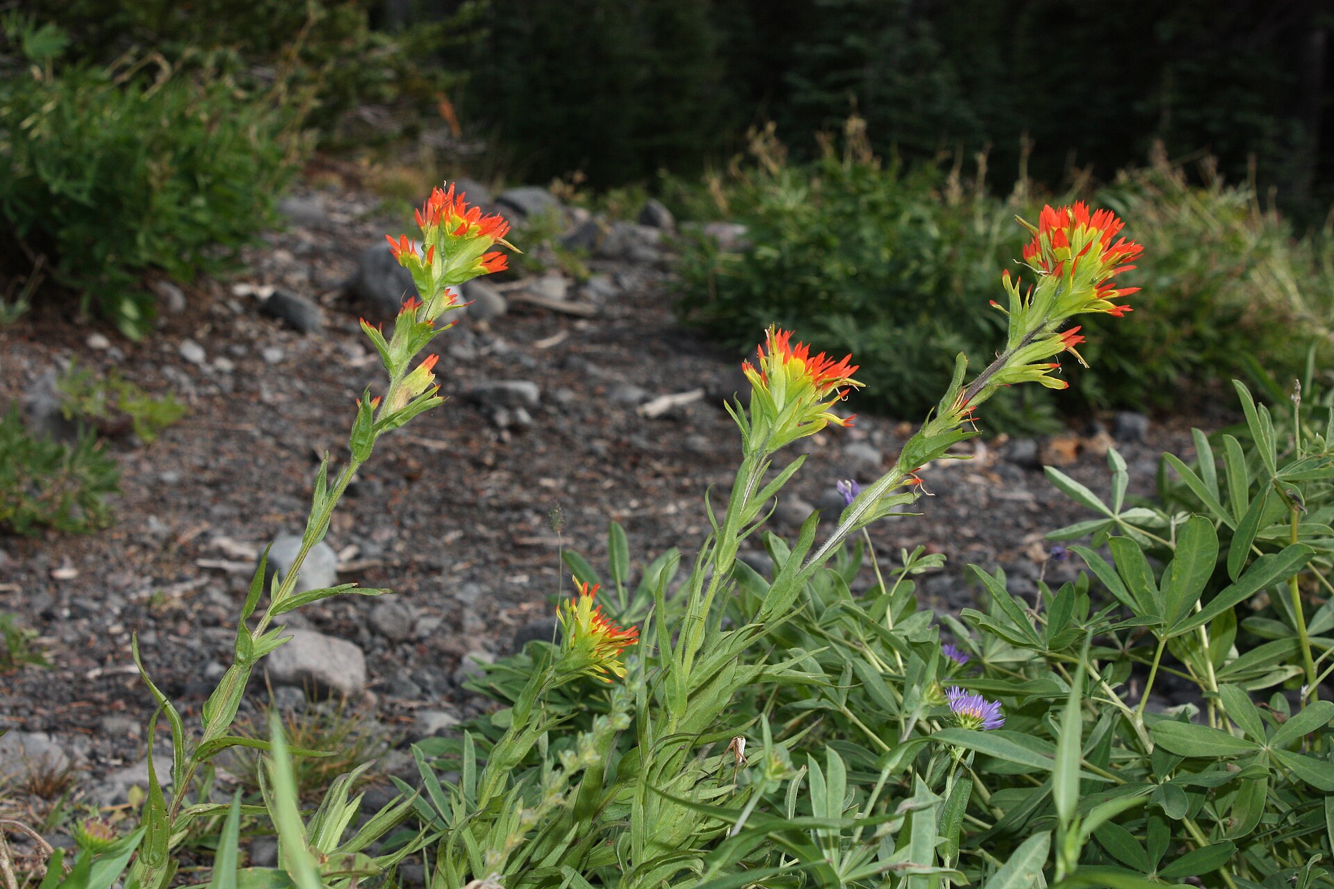 PCTSister Spring and the glass plateauA spring pouring from North Sister amid glittering obsidian.
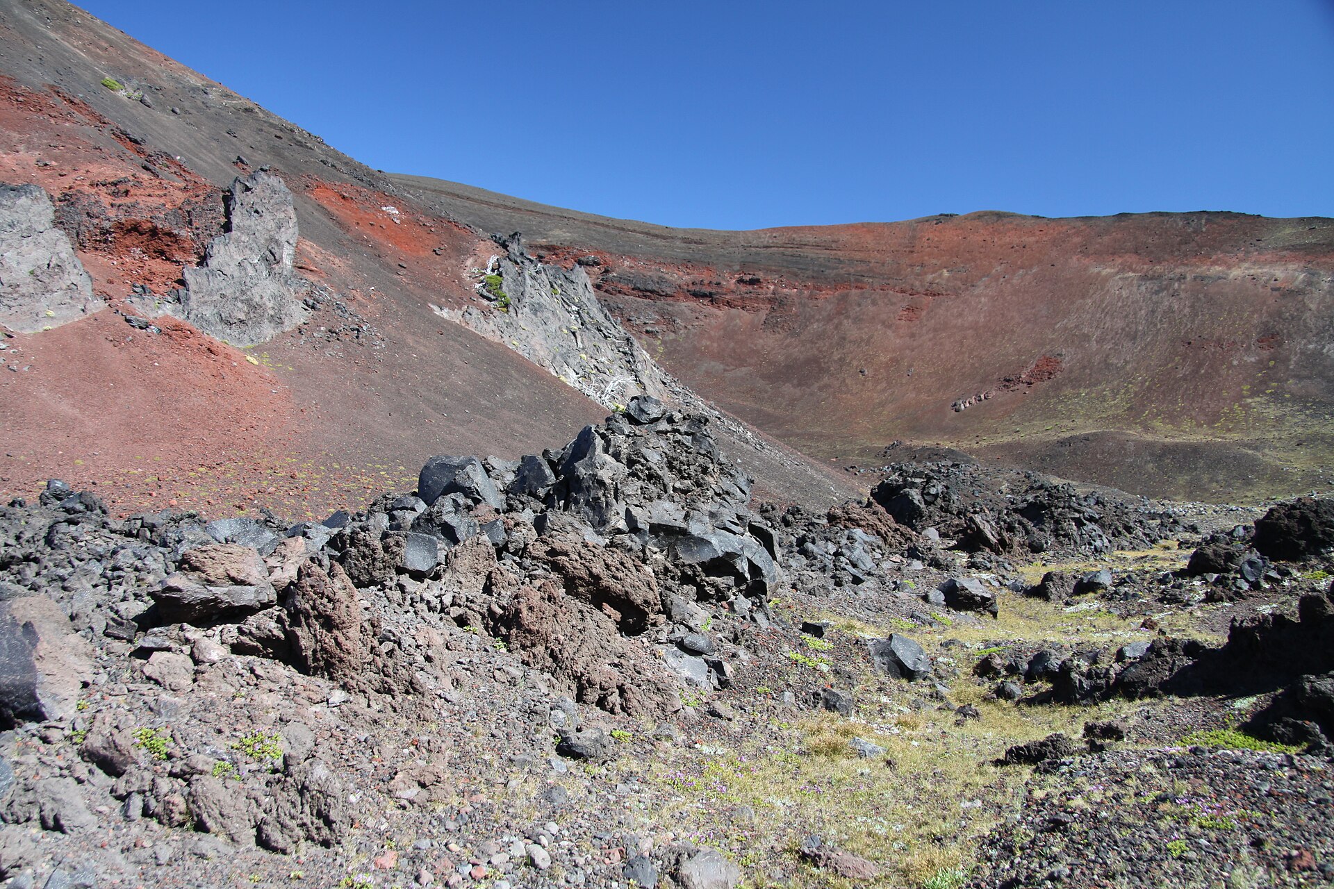 Side tripCollier ConeA young cinder cone a few miles north on the PCT.
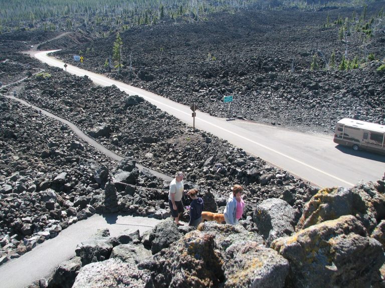 NearbyDee Wright ObservatoryPeak finder and lava loop at the McKenzie Pass summit.
Mileages are approximate from the Obsidian Trailhead.
Trail map and elevation
Route from OpenStreetMap; elevations from the USGS 3D Elevation Program. The chart follows the Obsidian Trail from the trailhead to the Pacific Crest Trail (about 5.3 miles). The dashed line is the Glacier Way Trail, the usual return leg of the loop.
━ Obsidian Trail #3528 ┅ Glacier Way #4336 ■ Trailhead ● PCT junction
Directions to the Obsidian Trailhead · Trail on OpenStreetMap
Everything above is the quick answer. Scroll on for the details, the backstory and tips.
The trail, section by section
Trailhead to the lava field (0 to about 3 mi). The trail climbs gently through forest east of Highway 242. About 3 miles in, you cross an impressive lava field of deep red and black rock with the Sisters looming ahead.
Up to the PCT (about 3 to 4.5 mi). Past the lava, the trail continues climbing to a fork. Most hikers take the right fork toward the Pacific Crest Trail; the left fork, the steep Glacier Way Trail, makes a good descent route. About 1.7 miles up the right fork, the trail joins the PCT.
Obsidian Falls and Sister Spring. Turn left (north) on the PCT and you'll soon see 20-foot Obsidian Falls, often lined with wildflowers in summer. Sister Spring, just beyond, bursts from the base of North Sister and makes a scenic lunch stop. This is the heart of the Obsidian Limited Entry Area, where hillsides glitter with volcanic glass.
Closing the loop (about 7 to 12 mi). Continue north on the PCT about 1.2 miles past the springs. Around 7 miles into the hike, watch for the Glacier Way junction (it's easy to miss), follow it 0.7 miles back to the Obsidian Trail, then walk about 3.5 miles back to the trailhead.
Permits, passes and rules
Central Cascades Wilderness Permit: required for both day use and overnight use at this trailhead from June 15 to October 15. Reserve on Recreation.gov or call 1-877-444-6777. Permits are released on the first Tuesday of April and are valid only for the date and trailhead listed. Obsidian has been limited-entry since 1995, one of the first places in Oregon with a quota, and it's credited with saving the area from being loved to death.
Parking: a Northwest Forest Pass or other valid recreation pass is required at the Obsidian Trailhead, in addition to the permit.
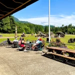
In the wilderness: there are no facilities inside the Limited Entry Area. Practice Leave No Trace: pack out all trash and dispose of human and pet waste properly. Leave the obsidian where it lies, too. The area holds deep cultural history, and every shard helps tell it. The trailhead has parking, restrooms, picnic tables and hitching posts.
Getting there and season
From the Highway 126 junction near McKenzie Bridge, drive about 17 miles up Highway 242 to Forest Road 250 and the Obsidian Trailhead. From the McKenzie Pass summit, go about 6 miles west and turn left (east) into the trailhead.
Season: Highway 242 closes to vehicles every winter. The 2026 closure began November 5, and the highway usually reopens in mid-June. Snow often lingers on the upper trail into early summer. Check TripCheck and call the ranger station before you go.
Why it's worth it
Few day hikes pack this much volcano into one loop: lava rivers, a glittering glass plateau, a spring pouring straight out of a mountain, and a waterfall with a wildflower fringe. The quota means you share it with only a handful of other hikers. Plan ahead, grab your permit in April, and you'll earn a day most Oregon hikers only hear about.
Ways to enjoy it
Obsidian Limited Entry Area, Three Sisters Wilderness. From June 15 to October 15, both day and overnight visitors need a Central Cascades Wilderness Permit from Recreation.gov. Highway 242 closes in winter, and the Forest Service says it isn't suitable for trailers or long RVs.
Day hiking on Obsidian Trail: Limited-entry permit required
About 12 miles to Obsidian Falls and Sister Spring and back, through lava, meadows and glittering black glass. It's a full day and worth every step, but only with a permit in season. Permits are released on Recreation.gov and go fast.
Source: USFS: Obsidian Stock Trailhead · Obsidian Hiker Trailhead
Backpacking on Obsidian Trail: Limited-entry permit required
Overnight permits are limited, and camping rules inside the limited-entry area are strict, including no PCT long-distance camping there. Read the permit conditions before you go.
Source: USFS: Obsidian Stock Trailhead · Obsidian Hiker Trailhead
Mountain biking on Obsidian Trail: Not allowed
Bikes and all motorized travel are prohibited in designated wilderness under federal law.
For singletrack, head down the valley to the McKenzie River Trail.
Source: USFS: Obsidian Stock Trailhead · Obsidian Hiker Trailhead
Trail running on Obsidian Trail: Permit required in season
Strong runners do the loop in a morning. You still need the limited-entry permit, the same as hikers.
Source: USFS: Obsidian Stock Trailhead · Obsidian Hiker Trailhead
Horseback riding on Obsidian Trail: From the stock trailhead
Riders use the separate Obsidian Stock Trailhead, which connects to the Obsidian, Scott and Pacific Crest trails. Wilderness rules apply. Before you haul, confirm permit rules for stock with the McKenzie River Ranger Station, (541) 822-3381, and check whether your rig can handle Highway 242.
Source: USFS: Obsidian Stock Trailhead · Obsidian Hiker Trailhead
Motorcycle / ATV on Obsidian Trail: Not allowed
Bikes and all motorized travel are prohibited in designated wilderness under federal law.
Motorized riders: stick to the roads and routes shown as open on the Willamette National Forest Motor Vehicle Use Map (free at the ranger station).
Source: USFS: Obsidian Stock Trailhead · Obsidian Hiker Trailhead
Allowed Allowed with limits Not allowed Not a good fit
Black glass underfoot, glaciers overhead, and only a handful of hikers a day.
⌂What’s nearby
Distances are straight-line miles from the closest point on the trail. See them all on the Explore map.
Nearby lodging

Nearby food and drink
Nearby attractions
Nearby campgrounds
Nearby gas

Frequently asked questions
Do I need a permit for the Obsidian Trail?
Yes. From June 15 to October 15, the Obsidian Trail (Forest Service Trail #3528) requires a Central Cascades Wilderness Permit for both day hikes and overnight trips. Reserve on Recreation.gov; permits are released the first Tuesday of April and quotas are small. You also need a Northwest Forest Pass to park.
How long is the hike?
The popular loop via Obsidian Falls, Sister Spring and the Glacier Way Trail is about 12 miles round trip with about 1,800 feet of climbing.
When can I go?
Only while Highway 242 is open, usually mid-June to early November. It closed for the 2026 season on November 5. Snow often lingers on the upper trail into early summer.
Can I camp in the Obsidian area?
Overnight trips need an overnight Central Cascades Wilderness Permit for this trailhead. Pacific Crest Trail long-distance hikers are not allowed to camp in the Obsidian Limited Entry Area.
Can I take a piece of obsidian home?
Please don't. Leave every shard where it lies so the next hiker gets the same sparkle, and so the area's cultural history stays intact.
Sources: USFS Obsidian Hiker Trailhead · Recreation.gov Central Cascades Wilderness Permit · Travel Oregon: Obsidian Limited Entry Area · Lookout Eugene-Springfield trail guide · ODOT McKenzie Highway. Checked November 2026.