
Hiking trails · McKenzie Pass · Highway 242 Scenic Byway
Lava River Trail at Dee Wright Observatory
USFS Trail #3540
A half-mile paved stroll through 2,000-year-old lava to a 1935 stone lookout with the Cascade peaks lined up on the horizon.
★Highlights and the Highway 242 byway
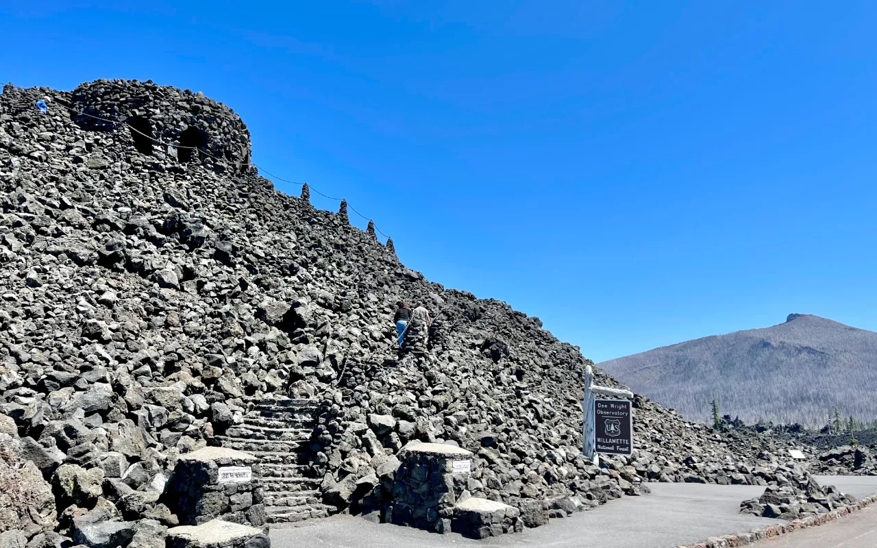 SummitThe observatoryLava-rock lookout with window openings that frame the peaks.
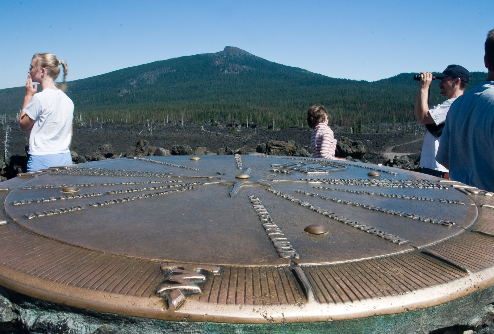 RooftopPeak finderA bronze dial names every summit on the skyline.
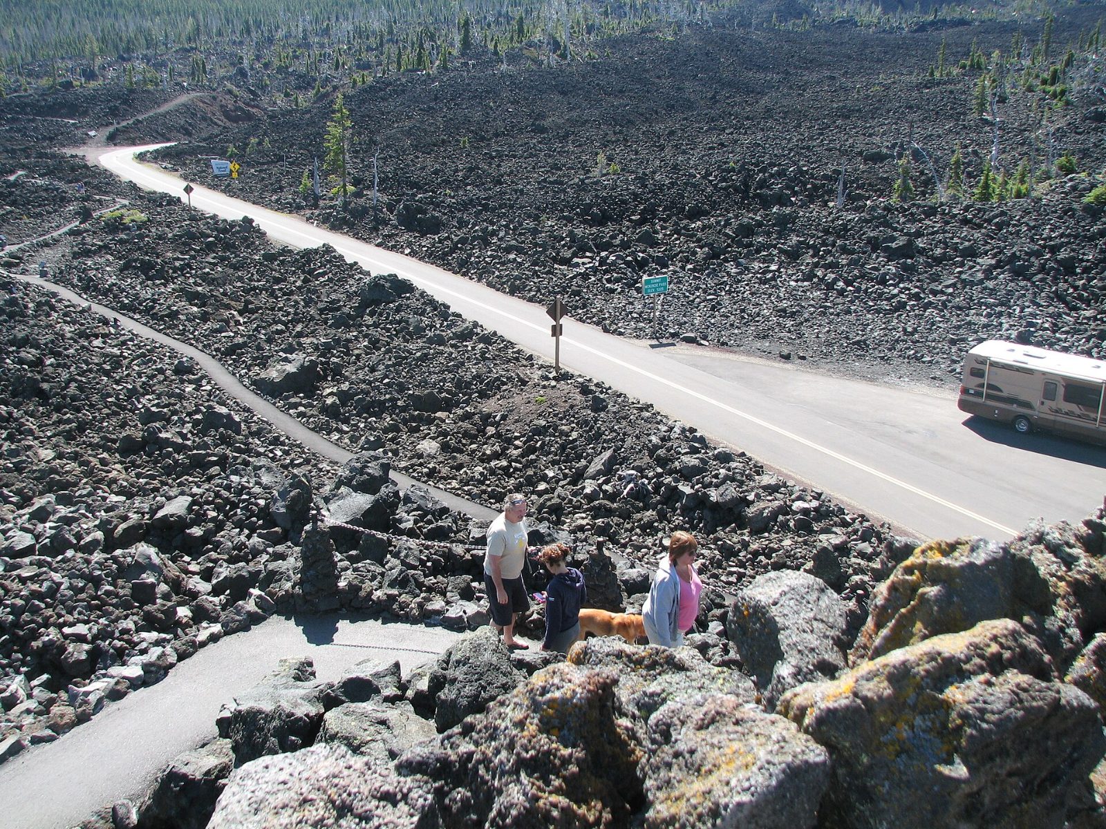 0.5 miLava River TrailPaved, accessible loop with interpretive signs through the flows.
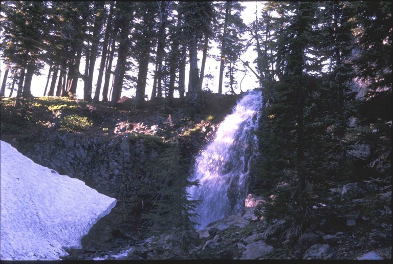 NearbyObsidian TrailPermit-only hike to volcanic glass and Obsidian Falls.
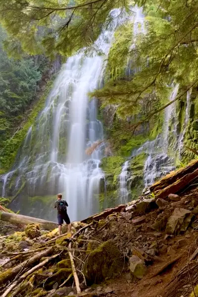 NearbyProxy FallsOne of Oregon’s most photographed waterfalls, on the west side of the pass.
Byway stops link to their own listings.
Trail map
The Lava River Trail is a paved half-mile loop through the lava beside the observatory. Route from OpenStreetMap.
━ Lava River Trail ━ Paved paths to the observatory ● Dee Wright Observatory
Directions to Dee Wright Observatory · Trail on OpenStreetMap
Everything above is the quick answer. Scroll on for the details, the backstory and tips.
What you'll see
The observatory. The Civilian Conservation Corps built this lava-rock structure and finished it in 1935, naming it in memory of their foreman, Dee Wright, who died the year before. Climb the steps to the rooftop, where a bronze peak finder names the summits and their elevations. Inside, window openings frame individual peaks.
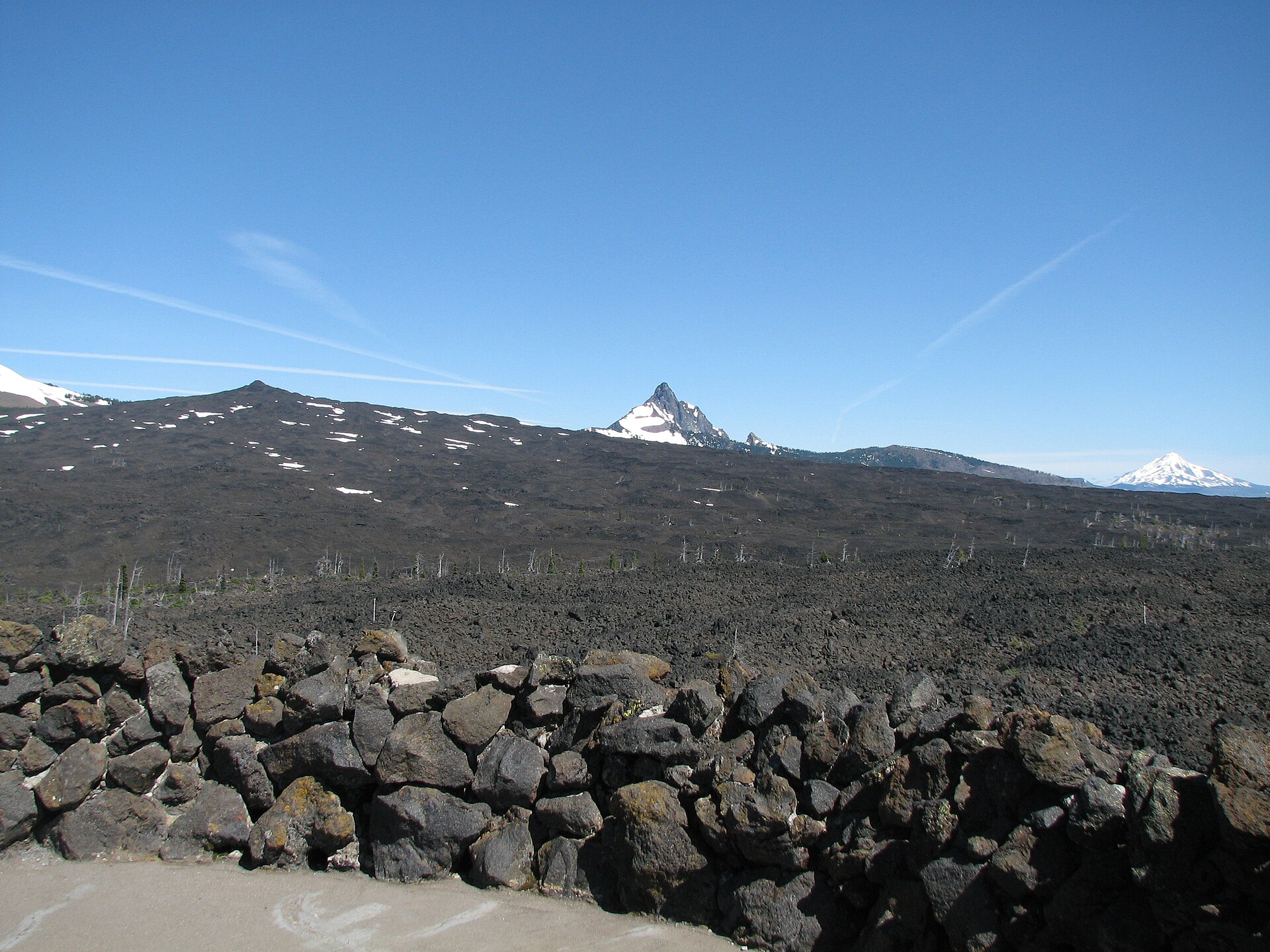
The view. The observatory overlooks about 65 square miles of black lava. On a clear day you can see Mount Washington, Mount Jefferson, the North, Middle and South Sister, and even Mount Hood, 78.5 miles north. Once the snow melts, look for Collier Glacier on North Sister.
The Lava River Trail. This paved half-mile loop winds through lava that flowed from Yapoah Crater roughly 2,000 to 2,700 years ago. Interpretive signs along the way explain the lava formations. Allow about 30 minutes.
Getting there, season and facilities
From McKenzie Bridge: drive about 5 miles east on Highway 126, turn right onto Highway 242 (McKenzie Pass), and continue 22 miles to the summit. From Sisters: drive 15 miles west on Highway 242.
Season: Highway 242 is a narrow scenic highway that ODOT closes to vehicles every winter. The 2026 closure began November 5, and the highway usually reopens in mid-June (the earliest possible opening is the third Monday in June). Check TripCheck before you go. Vehicles over 35 feet are not allowed.
Facilities: vault toilets, no drinking water, no picnic tables. No fees. Leashed dogs are welcome; horses and pack animals are not allowed.
Why it's worth it: walk on the moon
In 1964, NASA brought astronauts here to practice on the lava fields because they looked so much like the moon. You can do the same thing in sneakers. Come at sunset when the Sisters glow pink, or on a clear morning when the peak finder earns its keep. Bring a jacket: at over 5,000 feet, the wind on the roof can be brisk even in August.
Ways to enjoy it
A half-mile paved interpretive loop at the top of McKenzie Pass. There's no water. Highway 242 closes in winter and isn't suitable for trailers or long RVs.
Walking on Lava River Trail at Dee Wright Observatory: Allowed
About a half mile on pavement through 2,000-year-old lava, with signs explaining what you're looking at. Climb the stone Dee Wright Observatory to see the peaks lined up.
Source: USFS: Lava River Trail #3540
Backpacking on Lava River Trail at Dee Wright Observatory: Not a good fit
This is a short stroll. For an overnight, the Obsidian Trail and the Pacific Crest Trail start nearby, and Scott Lake Campground is just down the road.
Source: USFS: Lava River Trail #3540
Biking on Lava River Trail at Dee Wright Observatory: Not a good fit
It's a short paved walking path, not a ride. The cycling here is Highway 242 itself, a famous road climb when it's open. Check ODOT for seasonal status.
Source: USFS: Lava River Trail #3540
Running on Lava River Trail at Dee Wright Observatory: Not a good fit
Too short to count as a run, but a nice cooldown after you climb the pass.
Source: USFS: Lava River Trail #3540
Horseback riding on Lava River Trail at Dee Wright Observatory: Not a good fit
A paved interpretive walkway through lava isn't a stock route.
Want to ride? Box Canyon Horse Camp on the Aufderheide is a free, primitive stock camp with corrals and hitching posts, built for horse trips.
Source: USFS: Lava River Trail #3540
Motorcycle / ATV on Lava River Trail at Dee Wright Observatory: Not allowed
This is a footpath. Park at the observatory lot.
Source: USFS: Lava River Trail #3540
Allowed Allowed with limits Not allowed Not a good fit
NASA astronauts trained on these lava fields in 1964. Bring sneakers, not a spacesuit.
⌂What’s nearby
Distances are straight-line miles from the observatory. See them all on the Explore map.
Nearby lodging

Nearby food and drink



Nearby attractions
Nearby campgrounds
Frequently asked questions
How long is the Lava River Trail?
It's a half-mile paved interpretive loop (Forest Service Trail #3540) right next to Dee Wright Observatory. Most people take about 30 minutes, longer with photo stops.
Is it wheelchair accessible?
Yes. The Forest Service describes the Lava River National Recreation Trail as accessible, and a paved path leads from the accessible parking area to the observatory.
When can I visit?
When Highway 242 is open, usually mid-June to early November. It closed for the 2026 season on November 5. Check TripCheck for current status.
Is there a fee?
No fees are required.
What mountains can I see?
On a clear day: Mount Washington, Mount Jefferson, the North, Middle and South Sister, and Mount Hood, 78.5 miles away.
Sources: USFS Dee Wright Observatory · USFS Visit: Dee Wright Observatory · National Recreation Trails: Lava River Trail · ODOT McKenzie Highway. Checked November 2026.