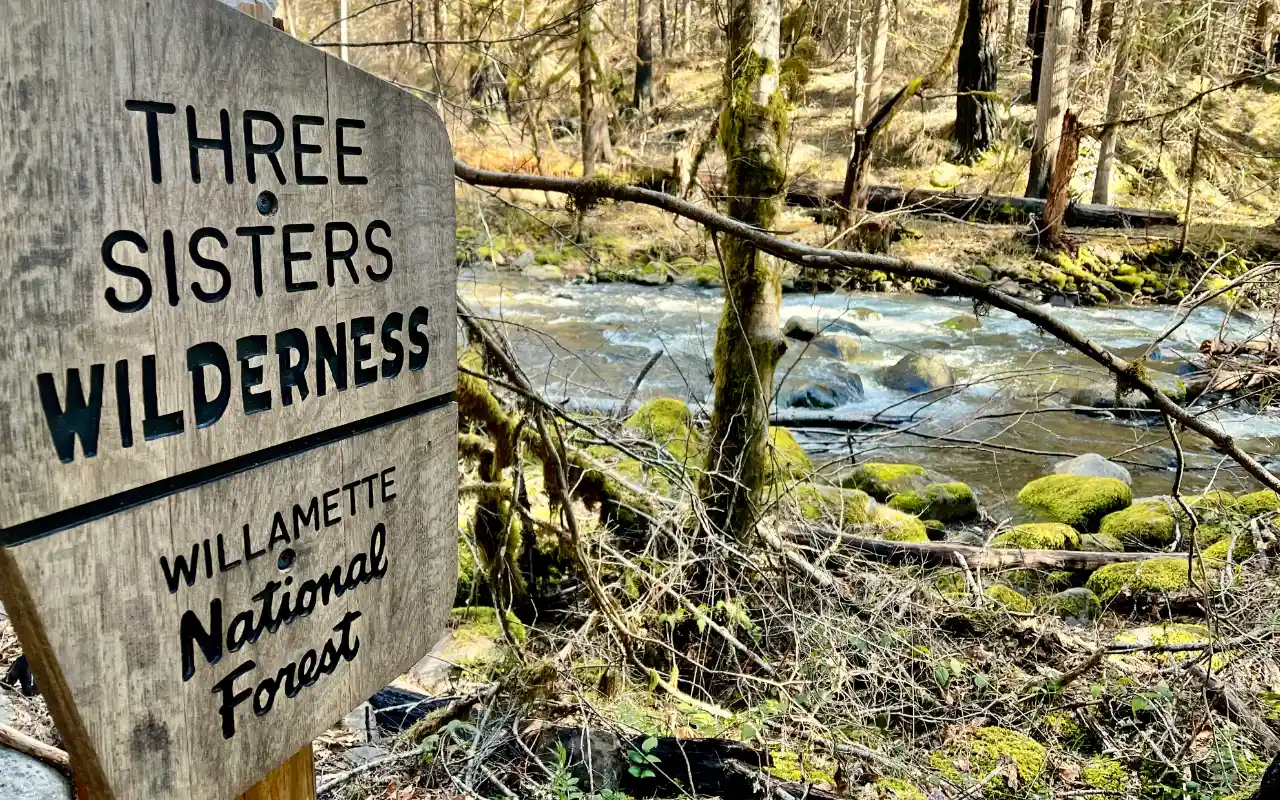
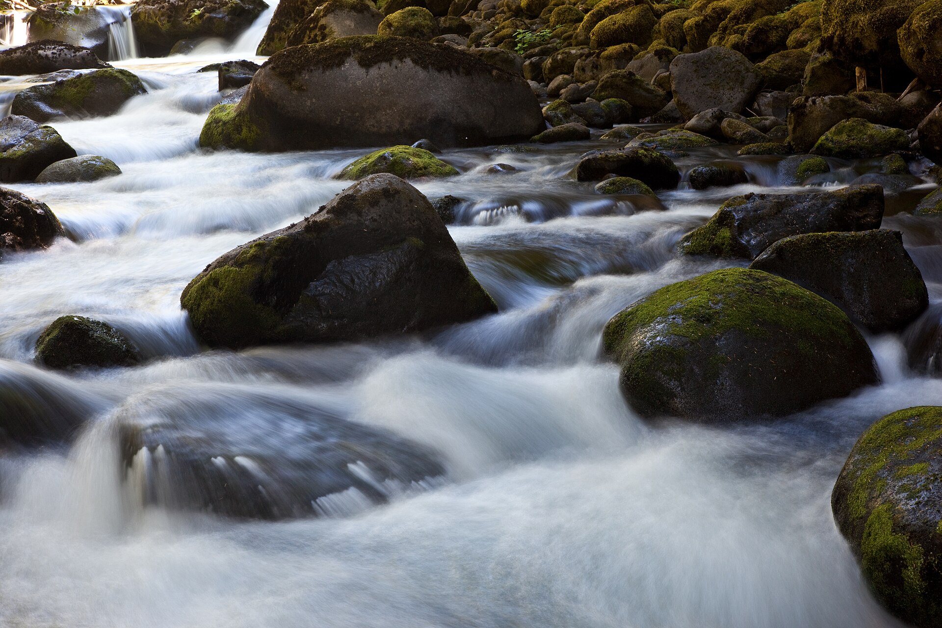
Hiking trails · Three Sisters Wilderness · Aufderheide Drive near Blue River
French Pete Creek Trail
USFS Trail #3311
A gentle creekside walk into the Three Sisters Wilderness through old-growth cedars and fir, in the valley Oregonians fought to save.
★Highlights and a day out
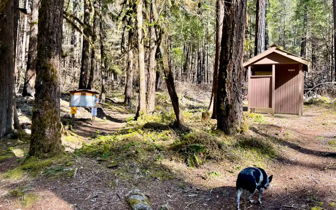 mi 0The trailheadVault toilet and shade, across FR 19 from French Pete Campground.
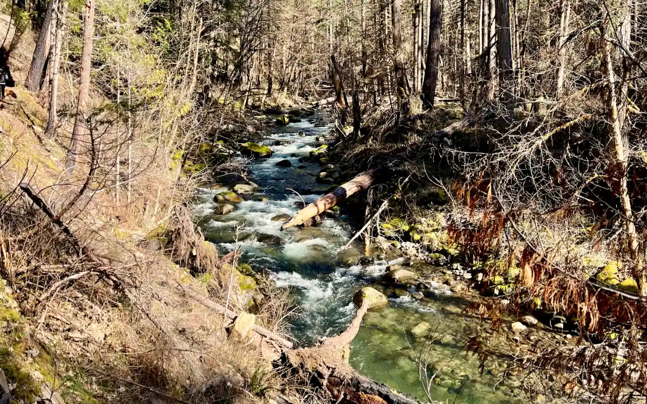 mi 0–1.75Old growth and fire recoveryScorched survivors, young forest and big Douglas-firs beside the creek.
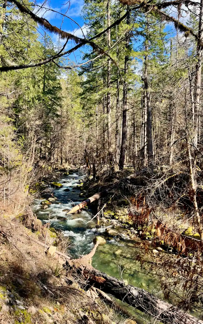 ~mi 2First creek fordThe classic turnaround. Cedars and a cold, clear creek.
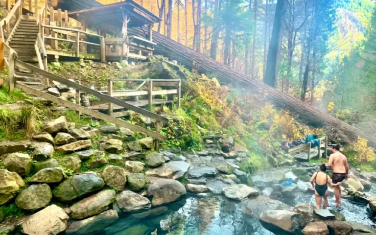 3 mi awayTerwilliger Hot SpringsSoak tired legs in terraced pools above Cougar Reservoir.
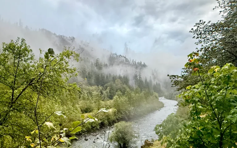 NearbyCougar CrossingRiverside picnic stop on the South Fork McKenzie.
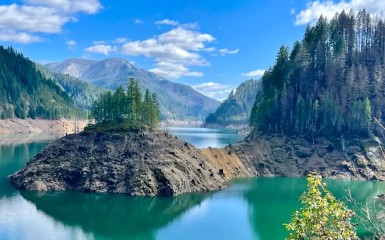 Scenic driveAufderheide Scenic BywayKeep rolling through the forest toward Oakridge.
Trail mileages are approximate from the French Pete Trailhead. Nearby stops link to their own listings.
Trail map and elevation
Route from OpenStreetMap; elevations are approximate, from a 90 m terrain model. Read the chart left to right, from the French Pete Trailhead up to Pat Saddle. Ford locations are approximate.
━ Trail ■ Trailheads ● Creek fords (approx.) ● Campground
Directions to the French Pete Trailhead · Trail on OpenStreetMap
Everything above is the quick answer. Scroll on for the details, the backstory and tips.
The trail, section by section
Trailhead to the first ford (0–about 2 mi). The path stays close to French Pete Creek. In the first 1¾ miles you'll see how the 2017 Rebel Fire and 2018 Terwilliger Fire left a patchwork: fire-scorched old Douglas-firs that survived, stands of young and mature forest, and pockets of old growth. The first ford comes at roughly mile 2 (the Forest Service hardened the crossing at mile 2.1 to control erosion). This is the turnaround for most day hikers.
Between the fords (about 2–3 mi). Past the first crossing the trail runs through a less severely burned riparian area full of western redcedars, then recrosses the creek about a mile later.
Upper valley (about 3–9.9 mi). Beyond the second ford the trail continues in younger forest on the north bank, leaves the creek after about five miles and climbs toward the Pat Saddle Trailhead. Through-hikers usually arrange a car shuttle; the upper end connects with the Olallie Trail and the Bear Flat Trail for longer loops.
Permits, parking and what to bring
Fees: none listed for the French Pete Trailhead. Wilderness permits (June 15–Oct 15): a free self-issue day-use permit at the trailhead; overnight trips need a Central Cascades Wilderness Permit from Recreation.gov. Facilities: vault toilets, no potable water, so bring your own or a filter. Keep dogs leashed at the trailhead, and expect wilderness rules beyond it (no bikes or motorized equipment).
Getting there: from Blue River, drive 4 miles east on Highway 126 and turn right onto Forest Road 19 (Aufderheide Drive). Bear right at the Y, go 3 miles to Cougar Reservoir, then continue about 7 miles south on FR 19. The trailhead is on the left, across from French Pete Campground. On Forest Service maps and signs the trail is #3311.
Creek fords: there are no reliable footbridges at the two crossings. In spring runoff or after heavy rain, the fords can be swift and cold. If the water looks pushy, enjoy the lower trail and turn around.
Fire and recovery
The Rebel Fire burned north down to the creek in 2017, and the Terwilliger Fire burned south a year later until it reached the Rebel Fire's footprint. The lower trail is a living classroom in moderate-severity fire. Look for thick-barked Douglas-firs that came through with scorch marks, snags that now house woodpeckers, and a carpet of new growth. Watch for hazard trees, especially on windy days.
Why it's worth it: the valley that sparked a movement
French Pete was a front line in the fight over the Northwest's old-growth forests. The Forest Service removed it from the protected Three Sisters area in 1957, and students, hikers and groups like the Save French Pete Committee spent years campaigning to keep it from being logged. In 1978 the Endangered Wilderness Act added the valley to the Three Sisters Wilderness. It was among the first big blocks of low-elevation old-growth forest set aside from logging. Bring that story with you: you're walking a trail people marched for.
Ways to enjoy it
Three Sisters Wilderness. From June 15 to October 15 you need a free self-issue day permit (at the trailhead) or a Central Cascades Wilderness Permit for overnights. The Forest Service maintains only the first three miles, and there's no maintained crossing of French Pete Creek.
Day hiking on French Pete Creek Trail: Allowed (free day permit in season)
The first two or three miles are the sweet spot: giant cedars and Douglas firs, mossy boulders and the creek alongside the trail. It makes a great out-and-back. Past mile 3 the trail isn't maintained, and you'll meet fords with no bridge.
Backpacking on French Pete Creek Trail: Permit required; unmaintained past mile 3
Possible, but for experienced backpackers. You need a Central Cascades Wilderness Permit June 15 to October 15. The upper trail is unmaintained, so expect downed trees, fords and route-finding on the way toward Pat Saddle.
Mountain biking on French Pete Creek Trail: Not allowed
Bikes and all motorized travel are prohibited in designated wilderness under federal law.
The McKenzie River Trail is the corridor's signature ride.
Trail running on French Pete Creek Trail: Allowed
The maintained first three miles make a beautiful, gently climbing out-and-back. Carry the day permit in season, the same as hikers.
Horseback riding on French Pete Creek Trail: Not maintained for stock
The Forest Service says this trail is not maintained for horse or stock use. If you ride anyway, wilderness rules apply and weed-free feed is required.
Want to ride? Box Canyon Horse Camp on the Aufderheide is a free, primitive stock camp with corrals and hitching posts, built for horse trips.
Motorcycle / ATV on French Pete Creek Trail: Not allowed
Bikes and all motorized travel are prohibited in designated wilderness under federal law.
Motorized riders: stick to the roads and routes shown as open on the Willamette National Forest Motor Vehicle Use Map (free at the ranger station).
Allowed Allowed with limits Not allowed Not a good fit
One of the first low-elevation old-growth valleys in the country protected as wilderness.
⌂What’s nearby
Distances are straight-line miles from the closest point on the trail. See them all on the Explore map.
Nearby lodging
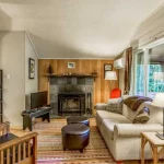
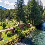
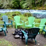
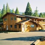
Nearby food and drink
Nearby attractions

Nearby campgrounds
Nearby gas

Frequently asked questions
How long is French Pete Creek Trail?
French Pete Creek Trail (Forest Service Trail #3311) is 9.9 miles one-way from the French Pete Trailhead to the Pat Saddle Trailhead. Most day hikers go to the first creek ford at about 2 miles and back, for 3.5 to 4 miles round trip.
Do I need a permit or a pass?
No trailhead fee is listed. From June 15 to October 15 you need a wilderness permit: free and self-issued at the trailhead for day hikes, or a Central Cascades Wilderness Permit from Recreation.gov for overnight trips.
Is it a good hike for kids?
Yes, the first 1¾ miles to the first ford are fairly gentle and stay near the creek. Turn around before the crossing with little ones, especially in spring.
Are there bathrooms or water?
The trailhead has vault toilets but no drinking water.
Did French Pete burn?
Parts of the lower valley burned in the Rebel Fire (2017) and Terwilliger Fire (2018). Many old trees survived, and the riparian stands of western redcedar beyond the first ford burned less severely.
Where can I camp nearby?
French Pete Campground is right across the road at the confluence of French Pete Creek and the South Fork McKenzie. Check water availability before you go.
Sources: USFS French Pete Trailhead · USFS French Pete Creek Crossing Repair · Old Growth Hikes: French Pete Creek · Wikipedia: French Pete Trail. Checked November 2026. Conditions change; call the ranger station before you go.